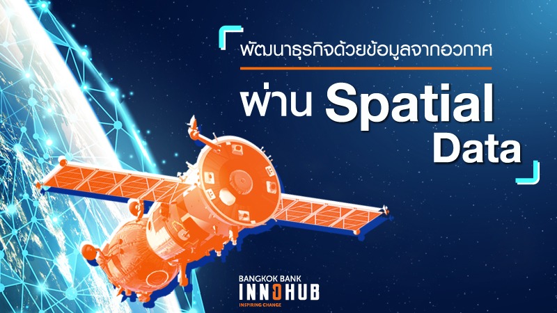
Boost Your Business with “Spatial Data” from Space Technology
In the Big Data world today, everything around us is a data source waiting to be mined. Smartphones and tiny sensors are a huge source of this but technology takes us even further into space where satellites revolving around our planets are now collecting what is called “Spatial Data” and this has gained popularity in business in recent years.
Spatial Data comprises multiple elements that make up geographical data. Through a technique called remote sensing, satellites listen to magnetic waves being reflected from the earth’s surface and record the data which tells scientists the physical, chemical, and other changes in the geographical properties of a location. This information is often mapped with aerial photos and other structural data to create a useful simulation.
Spatial Data is nothing new. Governments and academia have been utilising such data to create services such as weather predictions, area mapping, or to track migration movements. Only recently did it reveal its full potential for the consumer world thanks to the increasing number of private space operators and start-ups that enable business to catch hold of data more easily, at a lower cost.
Now about 35% of satellites orbiting the earth are commercial. This unlocks Spatial Data which can be used in various applications. Agricultural businesses become smarter when they get to know all the factors affecting the harvest like weather turbulence, cloud movements, sun intensity, and pest journeys.
Spatial Data is also used in the manufacturing industry to calculate natural risks concerning the supply chain, in the real estate industry to optimise locations for investment, in medical studies and plans to counter disease epidemics. These are only a few examples of how Spatial Data is changing the way business operates.
GlaxoSmithKline (GSK) is a company that has used Spatial Data to anticipate influenza outbreaks in Indonesia by integrating data from the local climate with drug prescriptions. This is used to create a geographic simulation supported by AI that successfully predicts a flu outbreak 4-5 days before it happens.
It is a perfect time for businesses to join with governments and academia in the Spatial Data party and utilise this data to create new services for consumers. Bangkok Bank InnoHub considers that Spatial Data offers will open up technological possibilities for exciting innovations.
#BangkokBank #BangkokBankInnoHubSeason2 #InspiringChange #SpatialData #UnleashthePotential


